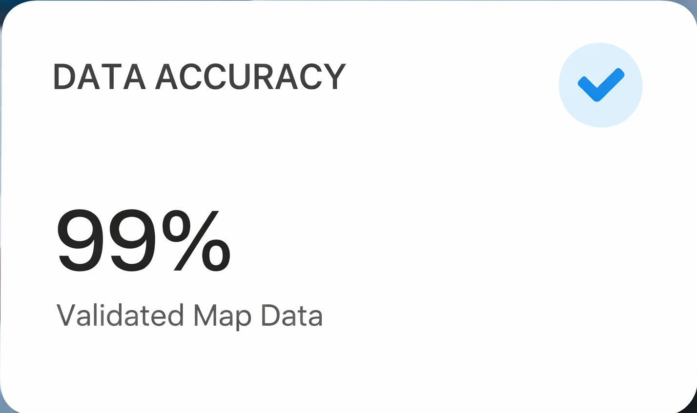
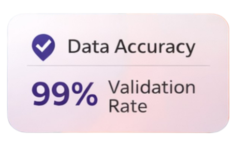
Powering India’s Maps with Real-Time Road Intelligence

We capture, validate, and deliver high-accuracy road and location data across India—supporting leading map and navigation platforms with reliable ground-truth updates.

Driving Accuracy with Our ProvenRoad Intelligence Expertise

India’s road network evolves every day. GeoMax Solutions ensures digital maps reflect real-world conditions through structured field surveys, continuous validation, and enterprise-grade data delivery.

Our data collection strategy is designed for accuracy at scale. We deploy trained field teams with standardized workflows to capture road geometry, attributes, and real-time changes—ensuring reliable ground-truth intelligence across India.

Core Services Overview

Core Mapping &Road Intelligence Services

Accurate, scalable, and field-verified data services designed for modern map and mobility platforms.

Road Data Collection

Field surveys to capture real-world road conditions, connectivity, and attributes across urban and rural networks.

Map Attribute Updates

Accurate updates for turn restrictions, speed limits, one-ways, POIs, and road classifications.

Change Detection

Identification of new roads, closures, diversions, and infrastructure changes with rapid turnaround.

Data Validation & QA

Multi-layer quality checks to ensure high accuracy and platform-ready datasets.

Pan-India Field Operations

Scalable operations with local teams covering highways, cities, towns, and rural regions.

Delivering Strategic Road Intelligence Solutions for Every Platform

GeoMax Solutions provides end-to-end road and map data services designed to keep digital maps accurate, updated, and reliable across India.

Road Data Collection

Road Data Collection

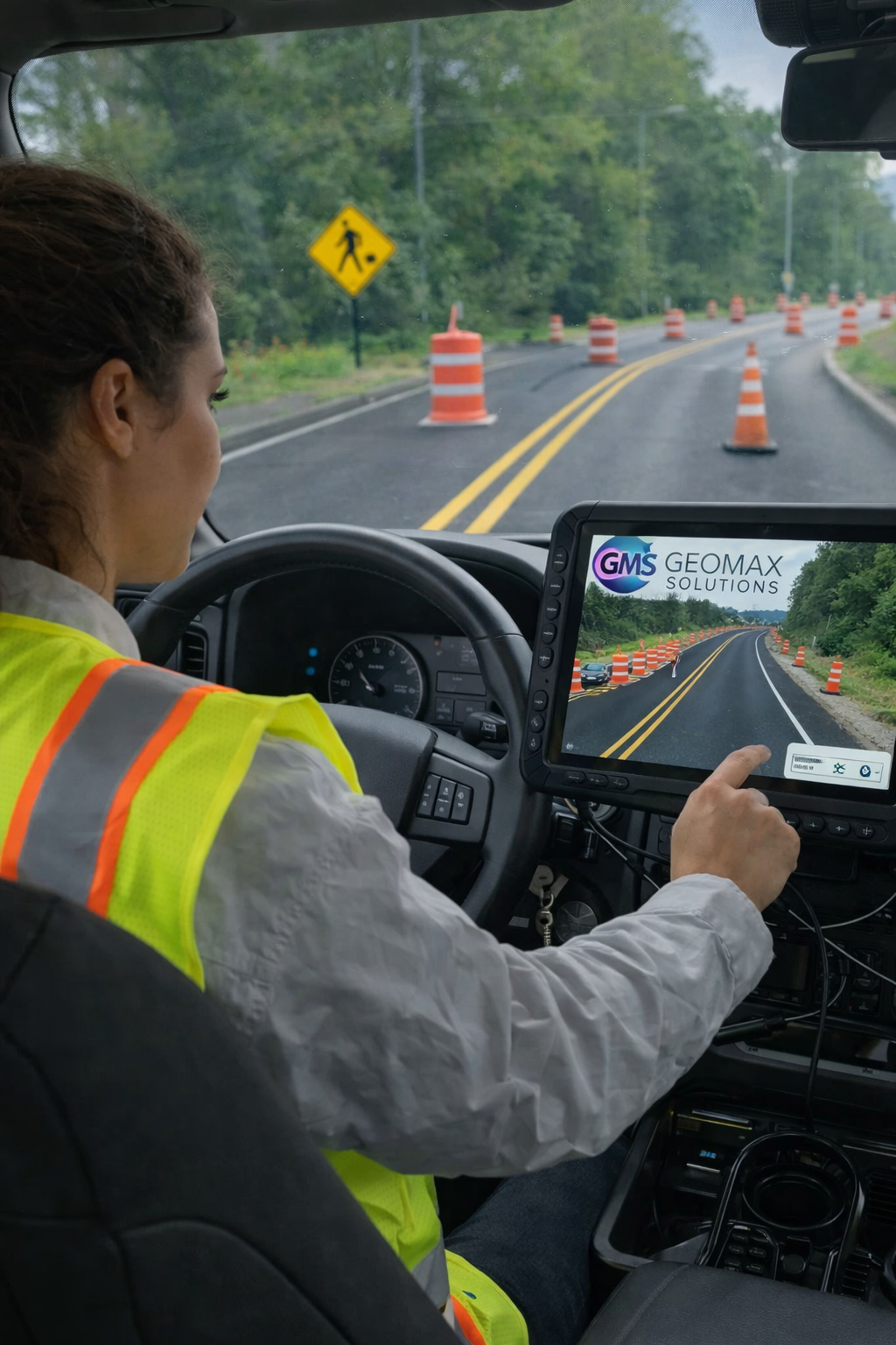
On-ground capture of road geometry, alignment, width, surface type, and accessibility across highways, cities, and rural networks.

Map Updates & Validation

Map Updates & Validation

Verification and correction of existing map data through structured field surveys and digital cross-checks.

Change Detection & Reporting

Change Detection & Reporting

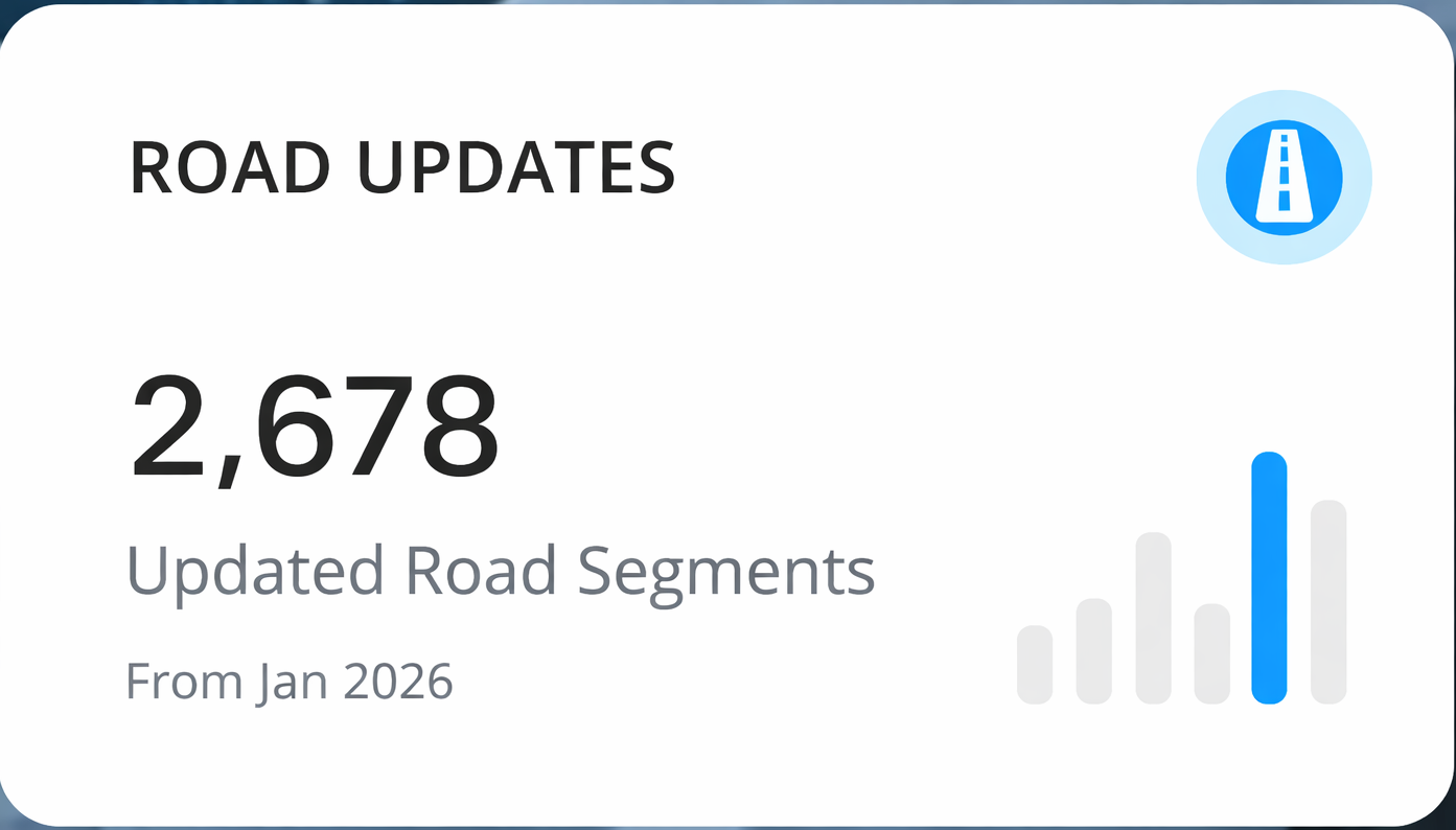
Continuous monitoring of new roads, closures, diversions, and traffic rule changes with timely reporting.

Our services are built to meet the accuracy, scale, and compliance requirements of modern navigation, mobility, and logistics platforms.

Instantly Strengthen YourMap Data Accuracy

Accurate maps drive better navigation, logistics efficiency, and user trust. GeoMax Solutions delivers reliable road intelligence at scale—helping map platforms reflect real-world changes faster and with confidence.

0 %

Data Validation Accuracy

Ensuring every data point meets strict quality and compliance standards before delivery.

Pan-India

Operational Coverage

From national highways to inner city roads and rural networks across India.

Client Testimonialsthat Build Trust

Our partners rely on GeoMax Solutions for accurate, timely, and scalable road intelligence that keeps their platforms dependable and future-ready.

GeoMax Solutions has significantly improved the accuracy of our road data updates. Their on-ground validation and structured reporting helped us resolve map inconsistencies faster than ever.

Ravi K.

Operations Manager

The GeoMax team understands scale and accuracy. Their field operations across multiple regions helped us maintain reliable map data without operational overhead.

Ankit S.

GIS & Data Lead

What stands out is their consistency. GeoMax delivers clean, verified data that aligns perfectly with enterprise map standards.

Neha R.

Product Manager

From highways to inner city roads, GeoMax Solutions provided dependable ground-truth data that strengthened our mapping workflows.

Suresh M.

Urban Planning Consultant

GeoMax Solutions brings strong operational discipline to road data collection. Their ability to capture real-world changes quickly and deliver validated updates helped improve the reliability of our navigation workflows.

Karthik P.

Senior GIS Analyst

About GeoMax Solutions

A Trusted Partner inRoad Intelligence & Map Data

GeoMax Solutions specializes in capturing real-world road conditions and transforming them into accurate, platform-ready map data. With structured field operations and strong validation processes, we help digital map and mobility platforms stay reliable, current, and scalable across India.

30+

Regions Covered

Our teams operate across highways, cities, towns, and rural networks—ensuring consistent data quality and nationwide coverage.

FREQUENTLY ASKED QUESTIONS(GeoMax Solutions)

Have questions about our road data services? Here are answers to some of the most common queries from our partners.

Still have questions?

Can’t find the answer you’re looking for? Our team is happy to help.

GeoMax Solutions specializes in road data collection, map updates and validation, change detection, and pan-India field operations. We help digital map, navigation, mobility, and logistics platforms keep their data accurate and up to date with real-world conditions.

Transform Your Map Data AccuracyTake the First Step Today

We’re ready to support your platform with accurate, scalable, and reliable road intelligence across India. Let’s work together to keep your maps future-ready.